Source-led shortlist
10 nature walks, from gentle park loops to forest terrain
A safety-conscious comparison of terrain, distance, shade, transit and current NParks notices.
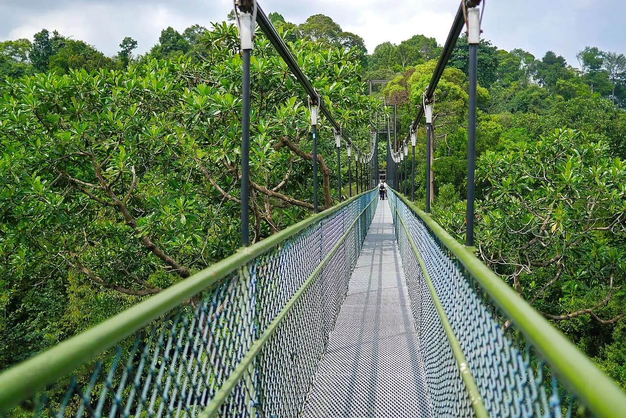
A forest trail junction on the MacRitchie Nature Trail in Singapore.
Representative topic photograph, resized and cropped for display. Photo: travel oriented · Wikimedia Commons · CC BY-SA 2.0- Sources checked
- Evidence desk
- 3 primary sources
- Refresh plan
- Check alerts immediately before publication
The useful question
Which green route fits the walker’s ability, weather and available time?
Start with the exact fit you need, then verify current details through the source trail below. We have not treated popularity, sponsored exposure or one review score as proof of quality.
Ten distinct fits
The shortlist
Numbers are reference points for reading, not a claim that one choice is right for everyone.
Migratory birds and mangroves
Sungei Buloh Wetland Reserve
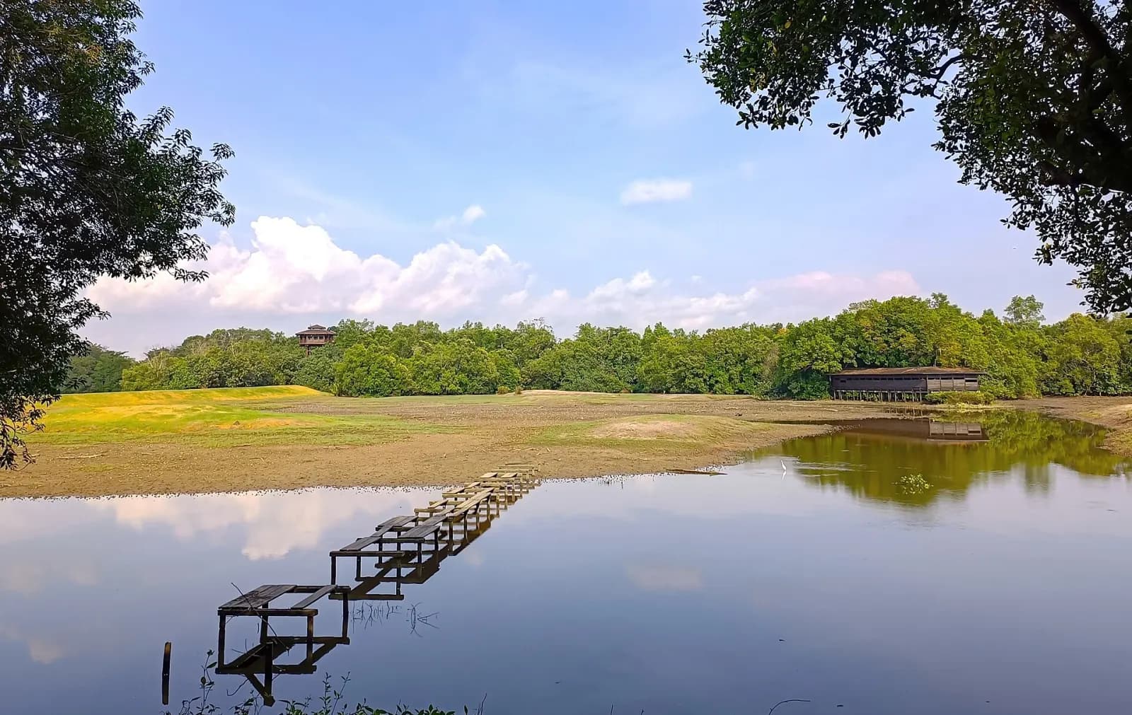
Sungei Buloh Wetland Reserve in 2024. The image does not establish current trail or wildlife conditions.
Image: FN-082 · Wikimedia Commons file · CC BY-SA 4.0 · Source checked 2026-09-03. Resized and converted to WebP; cropped for display. The adapted file keeps the source licence.Protected or managed green space documented by NParks, selected for a distinct landscape or trail experience.
Steeper forest terrain
Bukit Timah Nature Reserve
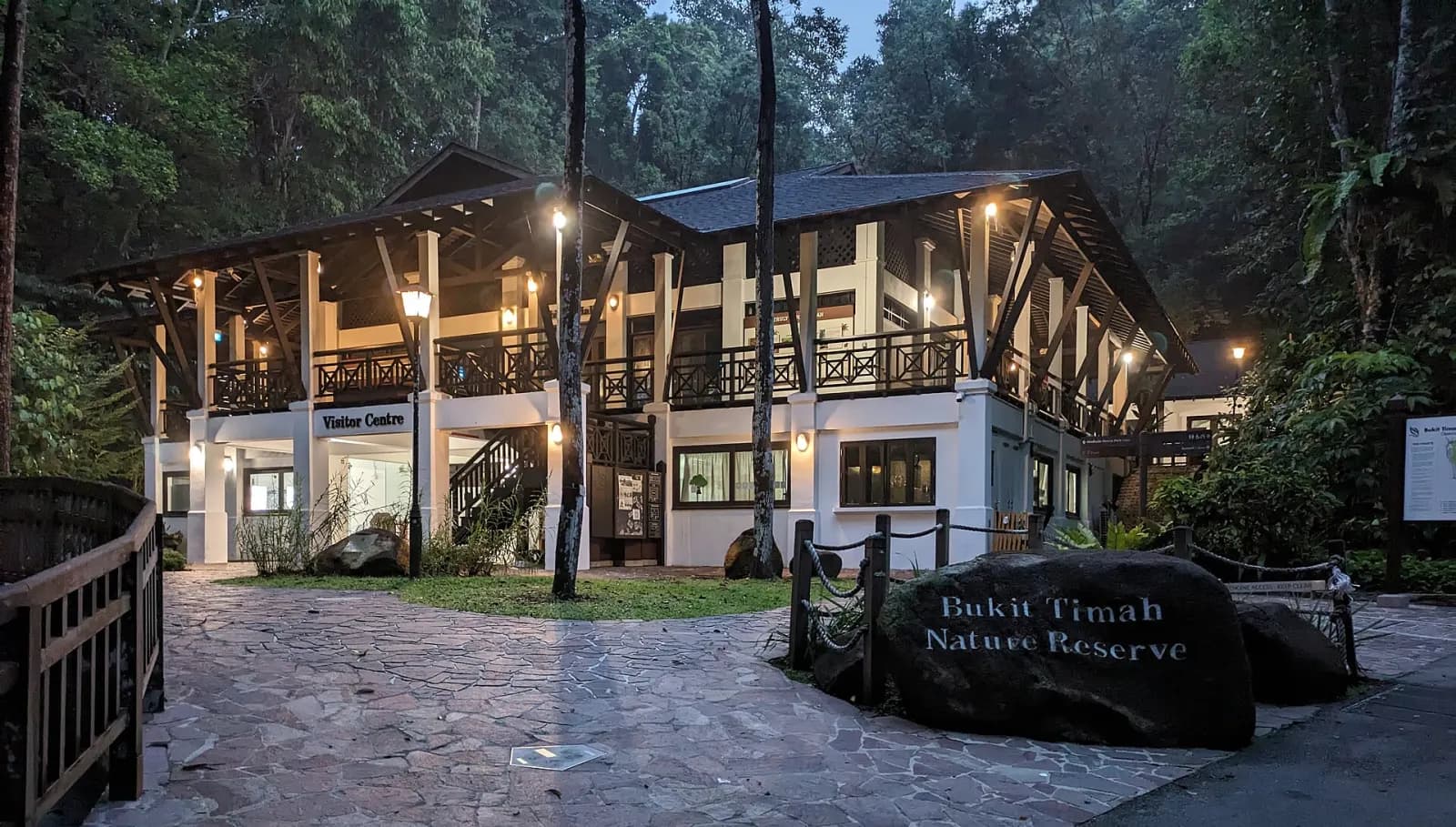
The exact visitor centre. This entrance view does not establish current opening status or trail terrain.
Image: Mx. Granger · Wikimedia Commons file · CC0 1.0 · Source checked 2026-09-03. Resized and converted to WebP; cropped for display. The adapted file keeps the source licence.Protected or managed green space documented by NParks, selected for a distinct landscape or trail experience.
Reservoir-edge forest walks
MacRitchie / Central Catchment
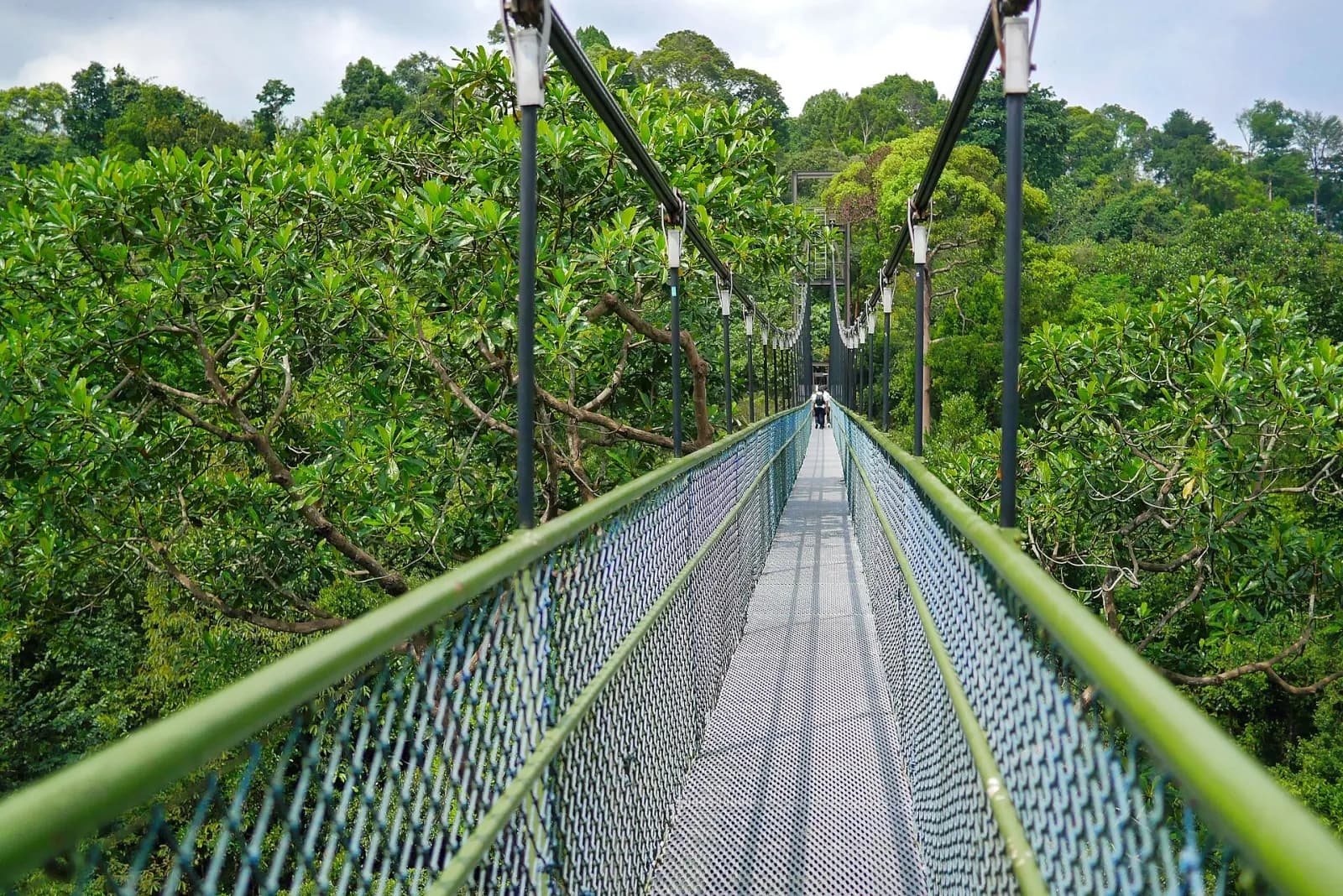
TreeTop Walk at MacRitchie in December 2014. Access rules and route conditions may have changed.
Image: travel oriented · Wikimedia Commons file · CC BY-SA 2.0 · Source checked 2026-09-03. Resized and converted to WebP; cropped for display. The adapted file keeps the source licence.Protected or managed green space documented by NParks, selected for a distinct landscape or trail experience.
Accessible forest-edge interpretation
Rifle Range Nature Park
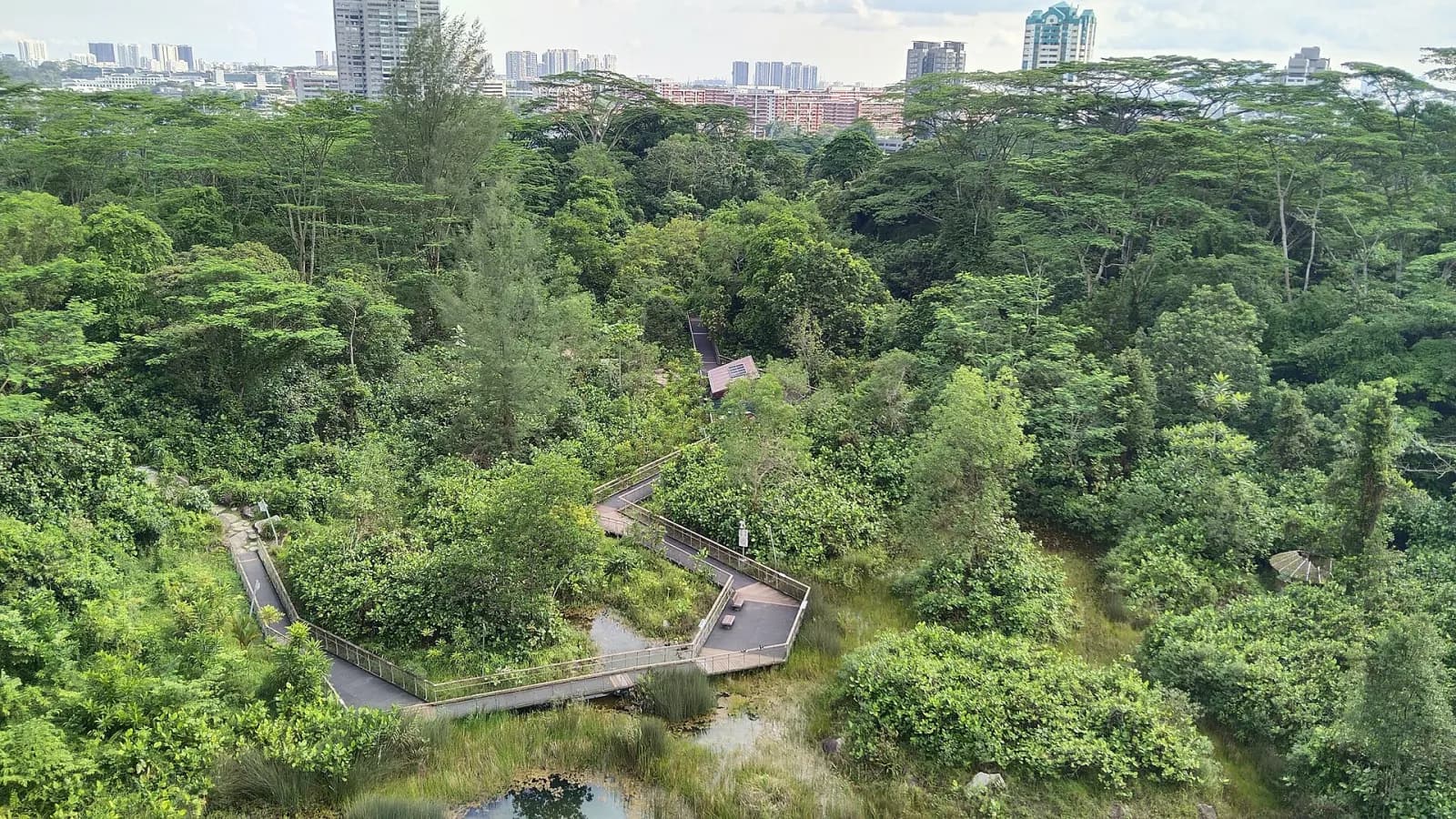
Quarry Wetland at the exact nature park in 2024. Confirm current access separately.
Image: Actuall7 · Wikimedia Commons file · CC0 1.0 · Source checked 2026-09-03. Resized and converted to WebP; cropped for display. The adapted file keeps the source licence.Protected or managed green space documented by NParks, selected for a distinct landscape or trail experience.
A gentler forest gateway
Windsor Nature Park
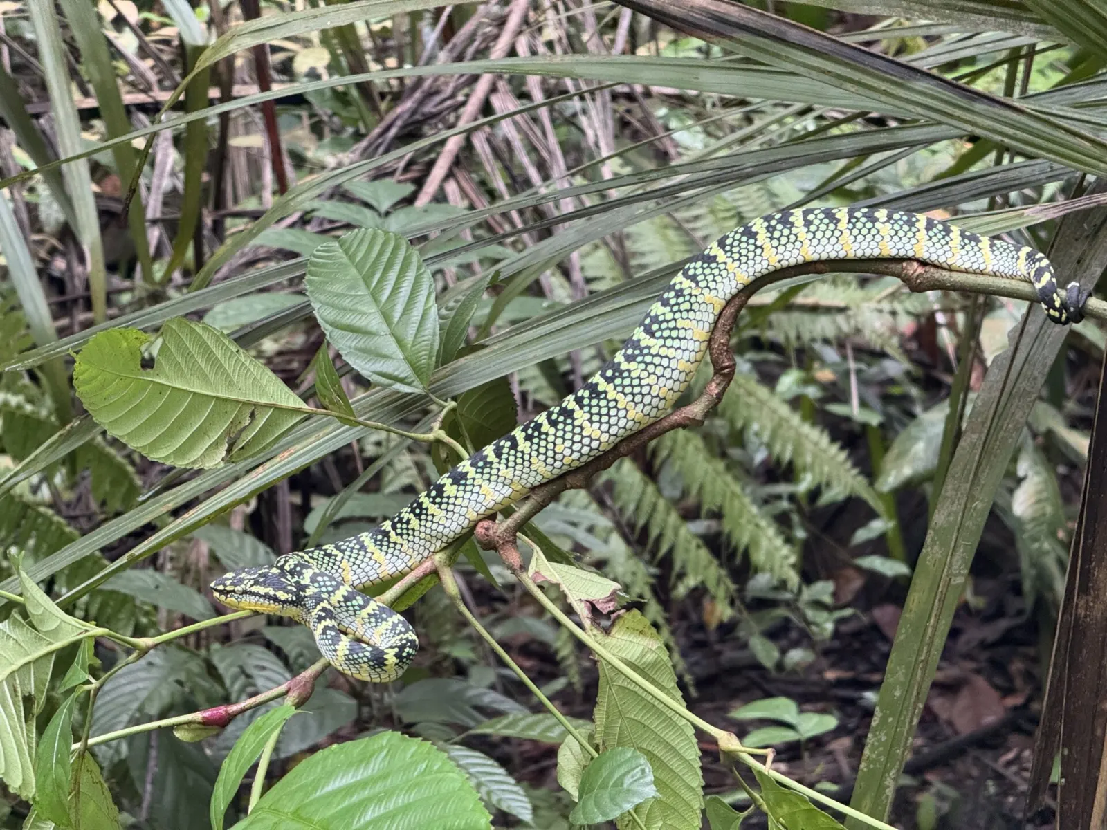
Exact-location wildlife, not a park view or a promised sighting. This species is venomous and should not be approached.
Image: melianie_max_and_asker · Wikimedia Commons file · CC BY 4.0 · Source checked 2026-09-03. Resized and converted to WebP; cropped for display. The adapted file keeps the source licence.Protected or managed green space documented by NParks, selected for a distinct landscape or trail experience.
Coast, cliffs and wartime history
Labrador Nature Reserve

Labrador Beach in 2009. Current access and shoreline conditions may differ.
Image: Demarcus Romero · Wikimedia Commons file · CC BY 2.0 · Source checked 2026-09-03. Resized and converted to WebP; cropped for display. The adapted file keeps the source licence.Protected or managed green space documented by NParks, selected for a distinct landscape or trail experience.
Rustic coastal cycling and walking
Coney Island Park
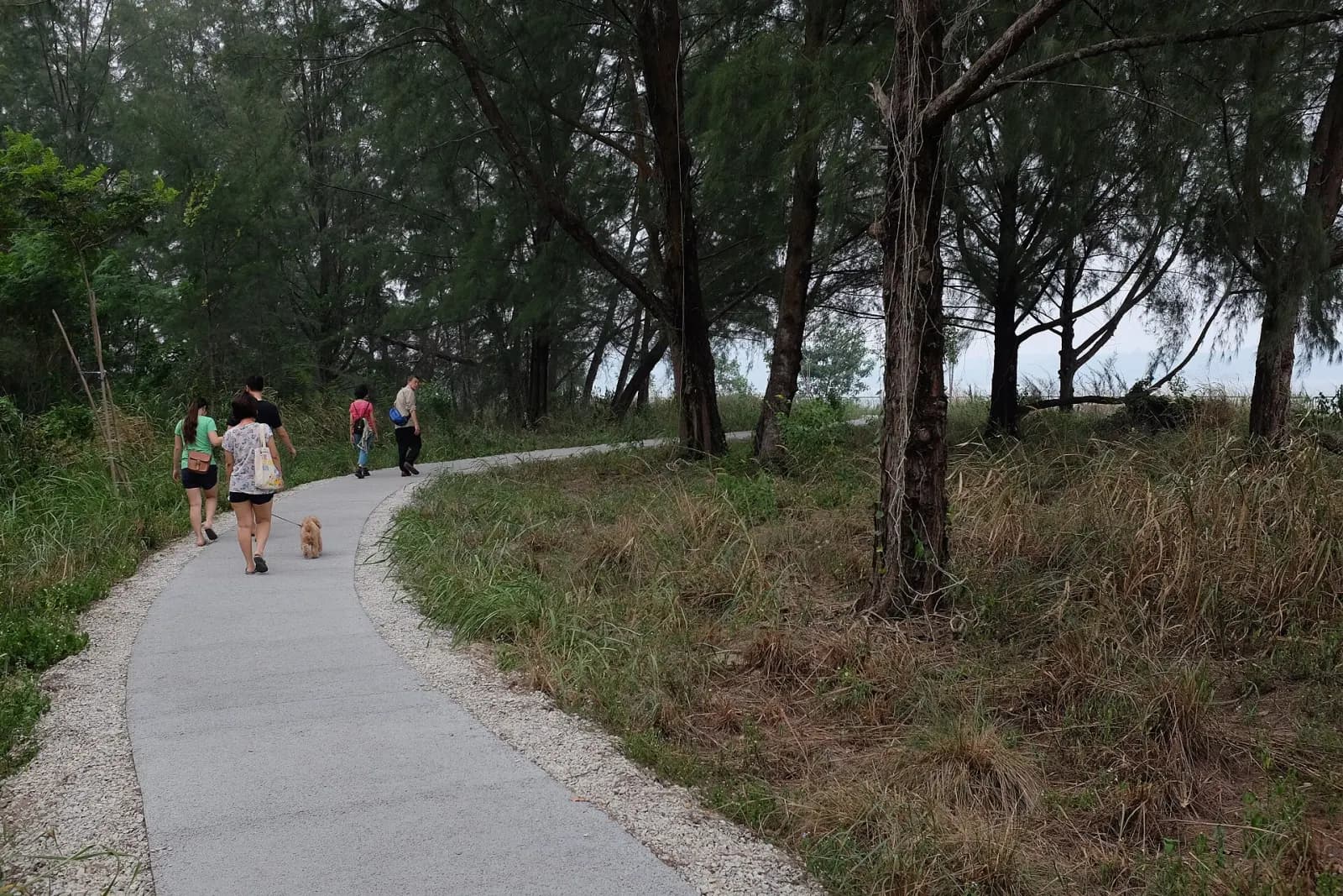
Coney Island in 2015. The image does not establish current path or access conditions.
Image: Jnzl · Wikimedia Commons file · CC BY 2.0 · Source checked 2026-09-03. Resized and converted to WebP; cropped for display. The adapted file keeps the source licence.Protected or managed green space documented by NParks, selected for a distinct landscape or trail experience.
Separate hiking and mountain-bike trails
Chestnut Nature Park
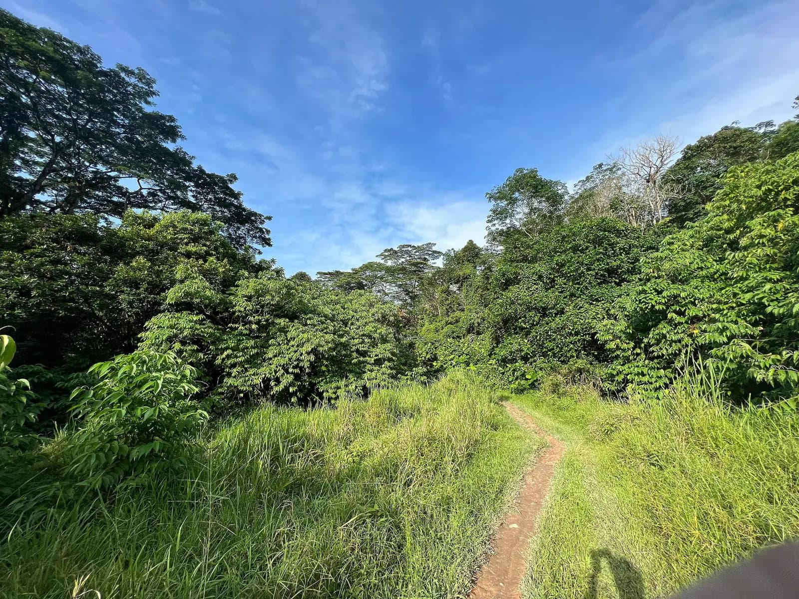
Chestnut Nature Park Southern Loop in 2022. Confirm current trail status before going.
Image: Wzhkevin · Wikimedia Commons file · CC BY-SA 4.0 · Source checked 2026-09-03. Resized and converted to WebP; cropped for display. The adapted file keeps the source licence.Protected or managed green space documented by NParks, selected for a distinct landscape or trail experience.
Quarry views and forest education
Dairy Farm Nature Park
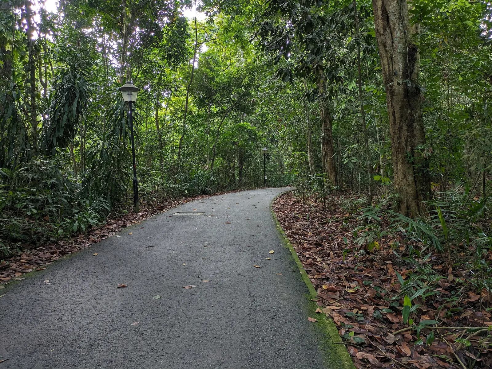
Wallace Trail at Dairy Farm Nature Park in 2024. Confirm current trail status before going.
Image: Mx. Granger · Wikimedia Commons file · CC0 1.0 · Source checked 2026-09-03. Resized and converted to WebP; cropped for display. The adapted file keeps the source licence.Protected or managed green space documented by NParks, selected for a distinct landscape or trail experience.
A short quarry-side family walk
Hindhede Nature Park
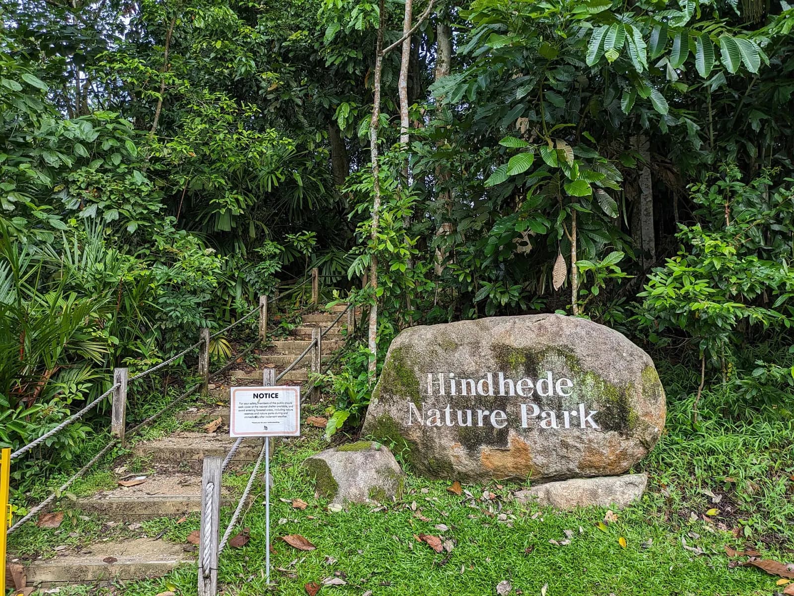
Hindhede Nature Park in 2024. Confirm current access status before going.
Image: Mx. Granger · Wikimedia Commons file · CC0 1.0 · Source checked 2026-09-03. Resized and converted to WebP; cropped for display. The adapted file keeps the source licence.Protected or managed green space documented by NParks, selected for a distinct landscape or trail experience.
Open source trail
Primary research desk
These sources establish official rules, identities, programmes or access. They do not automatically prove that a venue or business is good.
Research boundary
What this page can support
This is desk research based on the linked records and official pages. It does not imply a visit, purchase, tasting, safety audit or professional assessment. Any specific claim is kept within what its source establishes.
Read the full research method